


It started just like the ominous tremors depicted in the acclaimed disaster flick mega Earthquake – rattling windows, shaking homes, sending dogs into a panic. But as the shaking intensifies far beyond any ordinary quake, fears arise that this could be the mega-temblor scientists have urgently warned could strike anywhere in the United States where major seismic threats loom.
In this gripping new video, seismic experts reveal chilling evidence that a catastrophic magnitude 8.5 mega earthquake or greater may be imminent right here in the US-of-A.
Harkening scenes of widespread destruction and mayhem from mega Earthquake but incorporating real scientific data and expertise, this video discusses the urgent mission underway to determine where and when such a mega-temblor might hit.
We delve into state-of-the-art monitoring, analysis and preparation aimed at averting utter catastrophe. While the message from geologists about mega-quake dangers is bleak, they emphatically insist proper contingency planning and infrastructure upgrades can significantly reduce injuries, damage, and economic impacts when the ground eventually convulses with furious intensity.
This eye-opening video offers a glimpse behind-the-curtain at the high-stakes race toward readiness in the scientific community where protecting vulnerable populations hangs in the balance. Their message rings clearly – megaquakes are inevitable, but resilience can save lives.
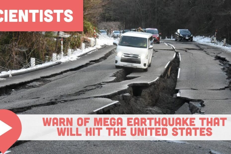
Join us as Viewcation Presents: Scientists Warn of Mega Earthquake That Will Hit the United States
Ominous Rumblings In Notorious Seismic Zone
A restless giant lurks far below the Pacific Northwest, silently gathering energy that could unleash apocalyptic fury at any moment. The Cascadia Subduction Zone fault responsible for the region’s greatest recorded mega earthquake now shows signs of mounting strain, sounding alarms in the scientific community. Teams of experts are now racing to solve the most urgent riddles surrounding this notorious 600-mile underwater crack that threatens major cities from Vancouver, B.C. to Northern California.
This swath of land bordering the Pacific Ocean rests squarely in the Ring of Fire, a 25,000-mile long hotbed of volcanic and seismic activity encircling the basin. The Juan de Fuca tectonic plate constantly inches under the North American continent here, building immense pressure until a dramatic snap propels sections of land violently upwards while dropping others below sea level.
While the hazard has long been recognized, the potential scale of devastation from a full Cascadia rupture came into chilling focus after a 2015 New Yorker article warned that a magnitude 9 mega earthquake could leave over 7 million people affected and cause the “worst natural disaster in the history of North America.” This doomsday scenario remains theoretical but becomes more scientifically plausible as new data pours in.
Mysterious phenomenon adds to unease
In an unsettling development, researchers recently detected a surprising phenomenon 50 miles off central Oregon – a plume of hot mineral-rich fluid gushing from a hole in the fault zone seafloor. Dubbed “Pythia’s Oasis” after the prophetic Oracle of Ancient Greece, this underwater spring offers an unexpected portal into the churning inner workings deep underground.
Scientists determined the vent is expelling water at potentially scorching temperatures originating directly from the plate boundary layers that typically slide frictionlessly against one another. This discovery adds physical evidence to suspected links between fault lubrication and strain accumulation. Dramatic leaks likely cause plates to stick then suddenly tear free. Like yanking the air compressor off an air hockey table, the fluid loss builds tension and raises risk of volatile slipping.
Theory takes on new urgency about Mega Earthquake
Speculation by University of Washington geophysics professor Evan Solomon that similar hidden springs nearby may correlate with abnormally strained sections of the megathrust is sparking alarms. Furthermore, having a identified vent spewing potentially searing subterranean fluid adds chilling substance to once abstract megaquake scenarios.
With pressure rising ever higher between the battling continental and oceanic plates, the stage appears set for what experts dread as an inevitability – the entire fault giving way with nearly incomprehensible violence, unleashing magnitude 9 seismic shockwaves lasting up to five minutes. The discovery of Pythia’s Oasis and possibly other fluid leak sites makes previously long-term megaquake projections seem like more of an imminent threat. This casts even greater urgency on efforts already underway to monitor and analyze the intricate forces in play miles beneath the surface.
Racing To Pinpoint Flashpoint Of Mega Earthquake
While experts cannot predict exactly when seismic forces will unleash the next time along the west coast, advanced monitoring increasingly highlights the most dangerous hotspots. Swarms of sensitive instruments embedded inboreholes measure subtle ground motions and record aftershocks of smaller quakes. Naval research ships traverse the seafloor using sonar to map plate edges in finer detail. Satellites track miniscule land shifts while scanning for upticks in underground stress. Three-dimensional simulations depict disaster scenarios in chilling detail.
The exhaustive data feeds powerful number-crunching models that estimate potential epicenters and likely impacts when the tension snaps. Local emergency managers apply the findings to fine-tune preparations and response plans. Such readiness measures become the last line of defense once the earth begins to furiously shake.
“We are in a much better position today to determine where mega earthquakes pose the biggest risk so we can target those areas for special reinforcement of critical infrastructure,” said US Geological Survey physicist Marine Denolle. “But when the energy pent up over centuries rips loose across hundreds of miles in minutes, severe damage is inevitable.” The devastation wrought in 2011 when a magnitude 9 mega earthquake rocked Fukushima, Japan serves as a cautionary tale.
The disaster claimed 20,000 lives while triggering meltdowns at a coastal nuclear plant. Closer to home, ghost forests of dead cedars along the Washington and Oregon shore are haunting reminders of the last mega-jolt to strike the Pacific Northwest in 1700. That violent upheaval sent a tsunami racing across the Pacific as far away as Japan.Tribal oral histories recount how two native villages were obliterated without a trace, foreshadowing the havoc a future megaquake could unleash on Seattle, Portland and other urban centers built atop liquefiable soils.
Vigilance Saves Lives
While pinpointing exactly when the next big one will shake the West Coast remains beyond science’s grasp, experts say readiness and resilience are the best tools for minimizing loss of life. Warning systems now use electronic alerts to automatically trigger safety actions when initial tremors are detected, providing precious extra moments to take cover. Building codes increasingly reflect seismic realities, from skyscrapers engineered to sway with jolts to bridges fitted with shock absorbers similar to those in cars. Past disasters fuel ongoing advances in disaster response, trauma care, backup systems and community preparation.
But experts caution against complacency, stressing that individual preparedness and infrastructure upgrades are vital where millions reside along active faults. In the end, mega earthquakes remain an inevitable act of nature, but one where knowledge and planning can dramatically lessen impacts. The race is on to wrest every advantage from cutting-edge science to mitigate megaquake hazards along the restless Pacific Rim when the ground inevitably heaves and rolls once more.
Deciphering the Riddles Of Rumbling Earth
From the earliest civilizations to today’s satellite-armed experts, understanding why and how mega earthquakes strike has challenged humanity’s greatest scientific minds. Early philosophers wrongly blamed eruptions of underground winds while others viewed them as heavenly omens or divine punishment. Modern science reveals a complex interplay between immense blocks of rigid earth grinding past each other and pressure building then explosively dispersing along fracture zones deep underground.
Sophisticated sensors now detect restless rumblings miles below well before any surface shaking. Detailed compositional analysis and experimental simulations recreate extreme subterranean environments where temperatures and pressures rival those on distant planets. Supercomputers crunch the data to model scenarios and impacts. Yet despite astonishing progress, many riddles endure around predicting precisely when and where seismic violence will erupt amid a region’s intricate underlying geology. But steadily expanding insights equip scientists to highlight probability zones where strain appears most amplified – helping guide emergency managers tasked with protecting vulnerable communities.
More Than West Coast In Peril
While the Pacific Northwest megaquake scenario captivates imaginations with its massive scale, experts warn major seismic threats loom over other heavily populated US regions as well. The New Madrid Seismic Zone running along the central Mississippi River Valley unleashed four devastating quakes exceeding magnitude 7 in 1811-1812 that collapsed primitive structures as far away as Charleston, South Carolina. Today, bridges, skyscrapers and buried pipelines in Memphis, St. Louis and other Midwest cities sit directly in harm’s way, much of it outdated and lacking seismic reinforcements.
Likewise, a sobering 2017 report by government experts and academics warns a severe mega earthquake from the Lesser Antilles Volcanic Arc in the Caribbean poses substantial risk to East Coast cities like Miami – where many buildings pre-date modern construction codes – and could also trigger landslides and tsunamis. While the West Coast remains ground zero for seismic hazards, improved science and monitoring aim to account for still-unknown threats before disaster strikes.
Bracing For The Worst
When the earth rouses in fury, preparation spells the difference between survival and catastrophe. Emergency managers cite studies showing that individuals and communities retaining basic response knowhow and supplies endure far less impact during crises. Recommended measures include maintaining disaster readiness kits with essentials like food, water, first aid items, flashlights and batteries. Also vital is knowing potential local hazards, designated evacuation routes and shelter locations.
Structural enhancements likewise significantly boost resilience – from strapping down heavy furnishings and appliances to reinforcing foundations and facades in quake-prone regions. Advanced early warning systems now relay alerts ahead of seismic waves in some communities, shutting down trains and opening firehouse doors automatically while broadcasting public warnings. Ultimately personal responsibility and vigilance remain first lines of defense against mega earthquakes’ wrath. Heeding the lessons of catastrophes past and warnings of hazards ahead is the surest way to mitigate harm when the ground gives way.
The Clock Is Ticking
As subsurface tensions escalate with no release in sight along the Pacific Northwest’s worst seismic threat, coastal communities find themselves caught in the geological crosshairs. While swarms of sensors and supercomputers race to pinpoint the next epicenter, the question looms not if but when the Cascadia Subduction Zone will unleash its deferred fury.
The revelations around fluid loss effects at Pythia’s Oasis and potentially elsewhere on the megathrust provide physical evidence backing worst case disaster projections. With pressure rising inexorably between the Juan de Fuca and North American plates, heightened monitoring and disaster planning take on amplified urgency. Hard learned lessons around early warning systems, infrastructure resilience, crisis communications and public readiness require swift implementation across the region.
Heeding the rumblings below the surface and long overdue seismic forces gathering momentum, heightened vigilance and preparedness offer the only recourse for coastal populations. While experts cannot yet predict timing, all signs point to a matter of when, not if, the restless giant known as the Cascadia Subduction Zone will come raging back to life. The window for action is shrinking fast as the tension continues escalating. How prepared will we be when it finally snaps?
Do you live in an mega earthquake-prone area? Do you have an emergency preparedness kit and plan in place? What additional steps would help your community withstand and recover from a major seismic event? We want to hear your thoughts and experience with mega earthquake readiness. Share your feedback and questions in the comments below! And of course, as always, thanks for watching!